
The Borgia Map is a world map made sometime in the early 15th century and engraved on a metal plate. The map was made in about 1450 with a script that identifies it as being made in south German.
The map seeks to not only illustrate the geography of the different countries but also to comment on their ethnography, natural conditions, religion, and critical events of their history.
Unfortunately, nothing about the authorship of the Borgia map is known. The map has a well-crafted and design and was made to last a long time as it is engraved on a copper plate.
Its quality and historical context make Borgia Map one of the most famous ancient maps in the history and evolution of cartography. The map is of non-Ptolemaic origins and is oriented with the South at the top.
The emphasis on history and the traditional names suggests that it was initially designed as a historical map, for use in a library.
Africa is at the top of the map, with Europe at the bottom right. The Babylonian, Alexandrian, Carthaginian, and Roman Empires are highlighted on the map in a historical sequence.
The Italian states which were in a chaotic political period at the time of this map led the mapmaker to comment that:
“Italy, beautiful, fertile, strong and proud, from lack of a single lord, has no justice.”
Special mentions are made of various Crusades and conflicts including:
- Charlemagne’s campaign in Spain.
- Crusading in northeastern Europe and Africa.
- The threat of the Gog and Magog, who are explicitly described as “Jews.”
- The Mongolian invasion is illustrated.

Detail showing northwest Iberian Peninsula on the Borgia Map.
The Borgia map includes:
- The Garden of Eden positioned near India at the mouth of the Ganges.
- India portrayed as a land of marvels and precious stones.
- China represented by tiny figures collecting silk from the trees.
- References to Ebinichibel, who is described as the Saracen Ethiopian king with his dog-headed people.
- Towns which are represented like a castle by having towers and battlements or by a church structure.
- Twenty vessels in a variety of ship-types.
- The Magi of the Gospel story.
The Borgia Map includes many examples of where the perceived ungodly extremes of the world were depicted as monstrous races, who were yet to be converted to Christianity.
There is no indication on the map that shows any knowledge of the Portuguese discoveries on the African coast or the Scandinavian discovery of Greenland.
Cardinal Stefano Borgia chanced upon a map engraved on a metal sheet while in Portugal in 1774. He had prints made of the map’s image, and the original map is today in the Vatican Library.
The map is engraved on two copper plates riveted together to form a circle, 24 inches in diameter. The color is rubbed in the engraved channels using a process of a black compound of sulfur, silver, and lead used to incise a design on a metal surface.
- Title: Borgia Map
- Dated: 1450
- Writing: German
- Discovered: Cardinal Stefano Borgia, 1774
- Materials: Copper plates
- Dimensions: 24 inches in diameter
- Type: Ancient and Historical Maps
- Museum: Vatican Library
How old world maps shaped the 21st century
Virtual Tour of Famous Maps
- Jacques-Nicolas Bellin Map of the Straits of Malacca
- Abraham Ortelius Map of Southeast Asia
- Meto Navigation Chart
- Stick Chart for Sea Navigation
- Ptolemy’s View of the Solar System
- Piri Reis Map
- Babylonian Map of the World – Imago Mundi
- Ancient and Historical Maps
- Theatrum Orbis Terrarum
- Borgia Map
A Medieval World Map
Virtual Tour of Prehistoric Art and Ancient Artifacts
- Ain Sakhri Lovers
- Wolverine Pendant of Les Eyzies – Prehistoric Portable Art
- Antler Perforated Baton – Paleolithic Portable Art
- Venus of Brassempouy
- Head of a Cycladic Statue, Keros-Syros Culture
- Stargazer – Sculpture of a Female Figure
- Stargazer Figurine
- Dancing Girl (Mohenjo-Daro) from the Indus Valley Civilization
- Prehistoric Stone Hand Axe
- Great Handaxe from Furze Platt
- Clovis Weapons and Tools
- Neolithic Chinese Painted Pottery
- Korean Neolithic Pot
- Neolithic Pottery from Ban Chiang
- Li – Chinese Tripod Jar
- Comb-Pattern Pottery
- Phaistos Disc
- Sican Funerary Mask – Peru
- Greenstone Mask, Central America
- Australian Aboriginal Rock Art – Bradshaw Rock Paintings
- Indigenous Australian Rock Art – Wandjina Style
- Australian Aboriginal Bark Paintings
- Plastered Human Skulls from the Pre-Pottery Neolithic Age
- Neanderthal Flute – Divje Babe Flute
- Prehistoric Deer Skull Headdresses
- Bronze Age Gold Lunula
- Bronze Age Shield Yetholm-type -1200 – 800 BC
Old Maps
Virtual Tour of Important Historical Artifacts
- Prehistoric Stone Hand Axe – 2.6 Million Years Ago
- Perforated Baton with low relief Horse – 40,000 Years Ago
- Venus of Brassempouy – 25,000 years ago
- Wolverine Pendant of Les Eyzies – 12,500 Years Ago
- Ain Sakhri Lovers – 11,000 Years Ago
- Prehistoric Deer Skull Headdress – 11,000 Years Ago
- Narmer Palette – 3,100 BC
- The Stargazer (Statuette of a Woman) – 3000 BC
- Neolithic Painted Pottery – 2,500 BC
- Dancing Girl (Mohenjo-Daro) – 2,500 BC
- Li – Chinese Tripod Jar – 2,300 BC
- Treasure from Troy – 2,200 BC
- Bronze Age Gold Lunula – 2,200 BC
- Gudea, Prince of Lagash – 2,120 BC
- Law Code of Hammurabi – 1,750 BC
- Nebra Sky Disk – 1600 BC
- Mask of Agamemnon – 1,500 BC
- The Sphinx of Hatshepsut – 1,470 BC
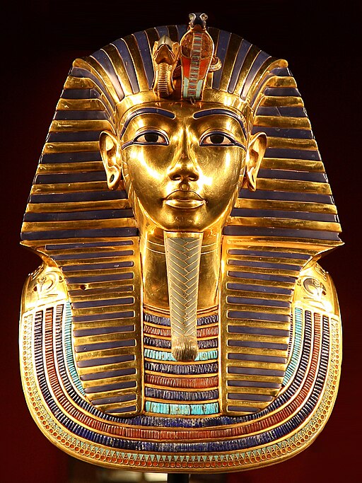
- Tutankhamun’s Mask – 1,323 BC
- Mummy of Katebet – 1,300 BC
- Book of the Dead – Papyrus of Ani and Hunefe – 1,250 BC
- Avanton Gold Cone – 1,250 BC
- Bronze Age Shield Yetholm-type -1,200 BC
- Relief of a Winged Genie – 880 BC
- Siloam Inscription – 700 BC
- The Lion Hunt – 640 BC
- Ishtar Gate – 575 BC
- The Curse of the Tabnit Sarcophagus – 500 BC
- Kleroterion – 470 BC
- The Parthenon Marbles – 440 BC
- The Alexander Sarcophagus – 300 BC
- The Winged Victory of Samothrace – 200 BC
- The Rosetta Stone – 196 BC
- The Pergamon Altar – 150 BC
- Antikythera Mechanism – 100 BC
- Battersea Shield – 50 BC
- The Temple of Dendur – 10 A.D.
- James Ossuary – 1st-century
- Lindow Man – 2 BC and 119 AD
Amazing Old Maps
~~~
“You can’t use an old map to explore a new world.”
– Albert Einstein
~~~
Photo Credit: 1)Unknown author / Public domain
Popular this Week


 Sponsor your Favorite Page
 SEARCH Search for: Search Follow UsJoin – The JOM Membership Program
Sponsor a Masterpiece with YOUR NAME CHOICE for $5
Share this:
- Tweet
